Marine metre squared
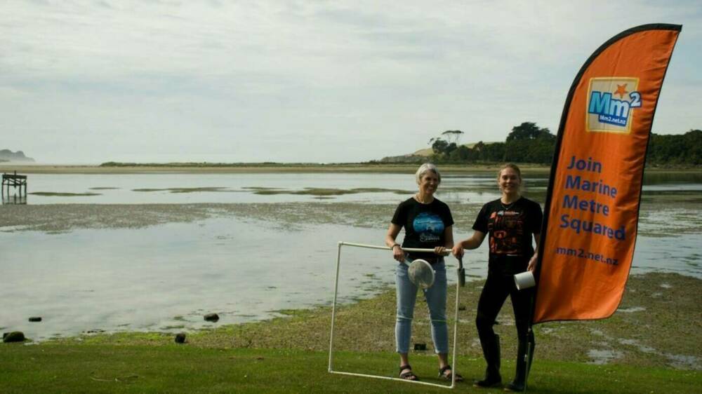
This national citizen science project encourages schools and communities to get involved in long-term monitoring of the coastal environment. It helps build a picture of Aotearoa New Zealand’s marine biodiversity, distribution and abundance of seashore animals and provides a baseline for measuring future change.

Background
Ideally, guardianship of local environments should be done by the communities that live within them and as a result, care most about its future. Mm2 is a tool that with the support of scientists and educators helps communities gather relevant baseline data about the diversity, distribution, and abundance of coastal species. It will help them understand how the marine environment changes over time and space.
Project details
Mm2 involves students, families, community groups and iwi. Their participation will help build a picture of Aotearoa New Zealand’s biodiversity, distribution and abundance of marine seashore animals and plants. The study will encourage ecological sustainability and community engagement locally and nationally.
Mm2 has developed social media, a website, workshops, and print and video resources to support its research. Case studies highlight how the project has been used to address local issues (e.g. impact of dredging in Otago Harbour, spread of invasive species), contribute to long-term data collection and habitat assessment (e.g. monitoring of marine reserves) and address the issue of data quality.
Information and training workshops have been run with schools, teacher and educators, and community groups. The impact of this project on student learning and validity of the data for science are also being researched. Iwi are involved in project development and delivery and many of the resources are available in te reo Māori.
What they hope to achieve
Mm2 helps communities and scientists understand how the marine environment changes over time and space. It will identify triggers for further studies that will ultimately lead to better management and restoration of the coastal marine area. It also supports stewardship and restoration projects.
Citizen science opportunities
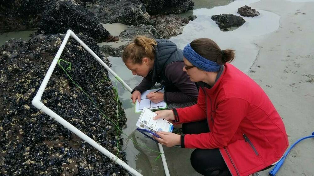
Mm2 is an easy way for anyone to survey the plants and animals on their local seashore. Protocols are available for rocky and sandy / muddy shorelines.
Step 1: Register at Marine Metre Squared
Step 2: Visit the seashore
Step 3: Upload and analyse your data
Resource


